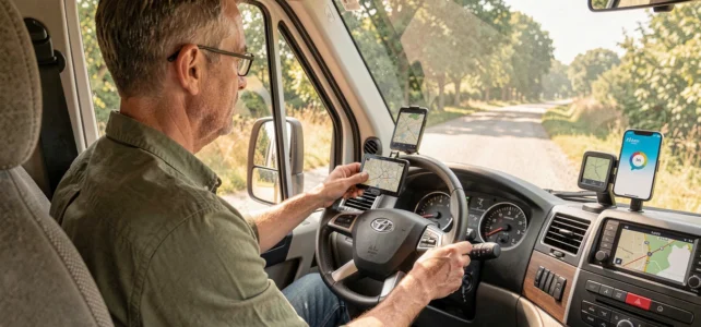
A six-meter motorhome entering a one-way alley, with a bridge limited to 2.5 meters in height at the end: we have all experienced or dreaded this situation. Waze recalculates, suggests an impossible U-turn, and the stress rises. The problem does not come from the app, but from the fact that it completely ignores the vehicle’s dimensions.
To optimize trips in a motorhome, it is essential to understand what Waze can do, what it will never do, and how a suitable GPS fills these gaps.
Size Restrictions and Low Emission Zones: What Waze Does Not Calculate for a Motorhome
Waze remains calibrated for standard car behavior. It does not manage the motorhome profile or the low emission zone restrictions by Crit’Air category. In practical terms, the app does not distinguish between a 7.5-ton motorhome and a city car.
The consequences are direct. Waze can route you to a bridge that is too low or a road prohibited for larger vehicles. In low emission zones, the risk is the same: the app does not signal specific prohibitions for heavy vehicles.
For motorhomes over 3.5 tons, the situation becomes more complicated. These vehicles are classified as heavy goods vehicles, with higher fines (a flat fee of 135 euros in case of violation) and sometimes stricter traffic hours than for light vehicles. This distinction between heavy and light vehicles is completely overlooked by Waze.
Another blind spot: VASP exemptions. A VASP-approved motorhome on the registration certificate benefits, in several French metropolitan areas (Strasbourg, Montpellier, Grenoble, Reims, Toulouse), from an exemption allowing circulation regardless of the Crit’Air sticker level. Neither Waze nor most standard car GPS devices integrate this VASP feature, which causes unnecessary rerouting or “prohibited area” alerts when the vehicle is legally allowed.
For those who want to configure a GPS for motorhomes with Waze in addition to a dedicated device, this size limitation remains the starting point for any route planning.
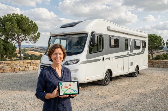
Configuring Waze for Motorhome Navigation: Settings That Change the Route
You cannot turn Waze into a motorhome GPS, but you can reduce unpleasant surprises with a few adjustments in the navigation settings.
Avoid Problematic Roads
In the route settings, disable unpaved roads and tolls if your size complicates passage through barriers. Always enable hazard alerts: Waze reports accidents, construction, and closed roads in real-time thanks to its community of users.
- Enable speed limit alerts to anticipate areas where heavy vehicles have specific constraints
- Disable the “unpaved roads” option to avoid narrow paths where a U-turn would be impossible
- Check the map before departure to visually spot sections marked as dangerous by other drivers
Crossing Waze with a Size-Specific GPS
The approach that works in practice is to use Waze for real-time traffic and a dedicated motorhome GPS app for route calculation. Start the specialized GPS (like Sygic Truck or CoPilot) to map the route considering the height, width, and weight of the vehicle. Then activate Waze in parallel for traffic alerts.
The dedicated GPS maps the route, Waze monitors real-time fluctuations. Feedback varies on the fluidity of this combination depending on smartphones, but the principle remains the same: two sources are better than one that is blind to size.
Dedicated Motorhome GPS or Mobile App: Which Tool to Choose Based on the Vehicle
The choice between a physical GPS device and a smartphone app directly depends on the type of motorhome and its usage.
A dedicated motorhome GPS device (Garmin Camper, TomTom GO Camper) comes with updated databases of road restrictions: bridge heights, lane widths, weight limits. You enter the exact vehicle profile once, and each route takes it into account. For a vehicle over 3.5 tons or a 7-meter integrated model, it is the most reliable solution.
Specialized mobile apps offer a less expensive alternative. They operate on the same vehicle profile principle, with the advantage of combining navigation and community information (service areas, water points, waste disposal).
- Dedicated GPS device: readable screen in full sunlight, no dependence on mobile network, but maps need to be updated manually
- Mobile motorhome app: lower cost, frequent updates, but drains the phone battery and requires a stable mount on the dashboard
- Waze alone: effective for traffic and community alerts, but unsuitable as the main navigation tool for motorhomes due to lack of size consideration
Preparing Your Motorhome Route Before Departure: Checks Not to Skip
Whatever tool you choose, preparing the route in advance remains the best protection against dead ends and fines.
First, check if your route crosses a low emission zone. In France, the affected metropolitan areas are multiplying restrictions, and a Crit’Air 4 or 5 motorhome may find itself banned from circulation during the day in certain urban areas. Check your Crit’Air sticker, and if your vehicle is VASP-approved, keep the registration certificate accessible to justify any exemption during a check.
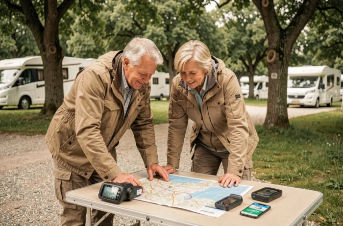
Trace the route on the dedicated GPS the day before. Identify sensitive passages: bridges, tunnels, narrow roundabouts. Note service areas along the route to plan breaks. Then on the day of departure, launch Waze in addition to capture updated traffic conditions.
This double-checking (size route the day before, real-time traffic on the day) takes about twenty minutes and avoids situations where the GPS sends you under a bridge or into a prohibited area. Technology helps, but it is preparation that truly secures a motorhome trip.