
A departure on the A7 on a Friday in July, an unmarked construction zone on your usual GPS, and your estimated arrival time jumps by an hour. This kind of situation drives you to look for a tool that integrates real traffic conditions into route calculations. ViaMichelin combines these two functions, route calculation and traffic information, in one interface.
Vehicle Settings and Actual Trip Cost on ViaMichelin
Most route calculators are limited to distance and estimated time. ViaMichelin asks you to provide the vehicle brand, its average consumption, and the type of fuel. This data allows for an estimate of the overall trip cost, including tolls and fuel.
The budget difference between two routes is often underestimated. A trip from Paris to Lyon via the highway and the same trip via national roads do not cost the same, and the difference goes beyond just the toll price. The vehicle settings transform route calculation into a budgeting tool. To better understand the detailed workings of this mechanism, you can consult Michelin traffic information on ActuMag which breaks down each step of the process.
The settings are done only once if you create a Michelin account. The vehicle information is saved and reused for each new calculation, which avoids the need to re-enter the data before each departure.
Real-Time Traffic and Construction Zones: What the Map Displays
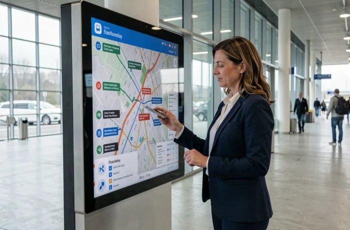
The traffic layer of ViaMichelin overlays ongoing incidents on the road map: construction, narrowed lanes, closed roads, objects on the roadway. Each event is marked by a clickable icon that specifies the nature of the problem and the affected section.
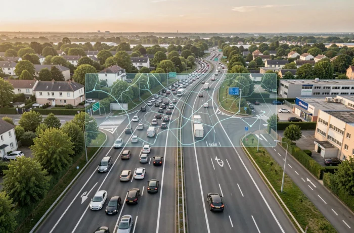
Construction zones with narrowed lanes are the primary factor for predictable slowdowns. Unlike an accident, they are known in advance and integrated into the database before your departure. Checking the traffic map the day before a long trip allows you to identify sections to avoid.
Feedback varies on the update frequency depending on the country. In France, the coverage of road events is dense. For cross-border trips, the platform covers several European countries and operates in multiple languages, making it useful as soon as you cross a border.
ViaMichelin Discovery Mode: Avoiding Congested Major Routes
When we talk about route optimization, we first think of the fastest or the cheapest. ViaMichelin offers a third logic with Discovery mode, which plots routes on picturesque secondary roads.
This mode is not just a tourist gimmick. During peak summer traffic, the selected secondary roads present a much lower risk of congestion than the major north-south highway corridors. The alternative route then becomes a true lever for optimizing travel time, not just the pleasure of driving.
The routing relies on the Michelin Guide database. The route may pass near restaurants, accommodations, or cultural sites referenced. This way, you get a journey that combines smooth traffic and relevant stop points.
- The fastest mode prioritizes highways and expressways, with high toll/fuel costs
- The economical mode reduces costs by avoiding toll sections, at the expense of extended travel time
- The Discovery mode selects secondary roads with low congestion, marked by points of interest from the Michelin Guide
ViaMichelin Mobile App: Navigation and Route Calculation on the Go
The app retains the functions of the website with added geolocation. You can initiate a route calculation from your position, from an entered address, or from a contact in your directory. The integrated navigation then guides you in real time.
The displayed travel time takes into account current traffic, not just theoretical distances. If a lane narrowing is reported on your route, the estimate adjusts. The app also shows the cheapest gas stations along the route, with updated prices in France, Italy, and Spain.
Several visualization modes are available: classic Michelin map, satellite view, simplified map, and 3D view in navigation mode. The choice depends on the situation. In the city, the simplified map remains the most readable. On the highway, the 3D view helps anticipate exits.
Roadmap and Key Steps
Before hitting the road, you can switch from map view to a detailed roadmap. This document lists every turn, every toll section, and every intermediate step. For long trips, it’s a more convenient format to print or share with a co-driver than just the interactive map.
ViaMichelin vs. Google Maps: When to Choose One Over the Other
Google Maps dominates the daily route calculation market. For short urban trips, the coverage of public transport and the near-instantaneous traffic updates make it a reflex that’s hard to replace.
ViaMichelin stands out for long road trips in Europe, where the detail of toll/fuel costs and alternative routes makes a difference. Google Maps does not offer integrated budget calculations or a mode equivalent to Discovery mode.
- Google Maps excels in multimodal trips (car + public transport + walking) and in searching for nearby businesses
- ViaMichelin focuses on the complete road trip with financial estimates, Michelin points of interest, and choices between several route profiles
- For a cross-border car trip with tourist stops, ViaMichelin offers a level of customization that Google Maps does not natively cover
The choice between the two does not need to be exclusive. You can check real-time traffic on Google Maps for the last urban kilometers after planning most of the trip on ViaMichelin. The two tools complement each other more than they oppose, and the best-optimized route remains the one that has been checked on the traffic map just before departure.