
Precision location is no longer limited to vehicle fleets or law enforcement. From centimeter-guided agricultural machines to real-time monitored hospital equipment, the needs have exploded in recent years, and the technologies that meet them have diversified. Deveryloc, a multi-modal geolocation platform, is part of this movement by combining several networks and protocols to cover very different environments.
Network compatibility and field constraints: what distinguishes a multi-modal platform
Most geolocation solutions rely on a primary network (GPS, Wi-Fi, or Bluetooth). The problem arises when the environment changes: a metal warehouse blocks satellite signals, an agricultural field offers no Wi-Fi hotspots, a tunnel neutralizes 4G.
Deveryloc claims simultaneous compatibility with 2G to 5G networks, LoRa, Sigfox, and GNSS. In practice, this means that the device switches from one network to another based on available coverage, without manual intervention. For public safety operations, this automatic switching prevents “gaps” in tracking a target moving from an underground parking lot to a rural area.
A detailed overview of Deveryloc’s location solutions on Orvinfait provides a better understanding of how this architecture interacts with the physical beacons deployed on the ground.
However, multi-modality does not solve everything. Precision always depends on the dominant network at any given moment: a LoRa signal offers long range but much lower spatial resolution than a corrected GNSS. Therefore, the user must calibrate their expectations according to the usage context.

Precision agriculture and centimeter geolocation: a sector in full adoption
Historical competitors in geolocation target fleet management, logistics, or homeland security. However, agriculture represents an application area where centimeter precision directly transforms profitability.
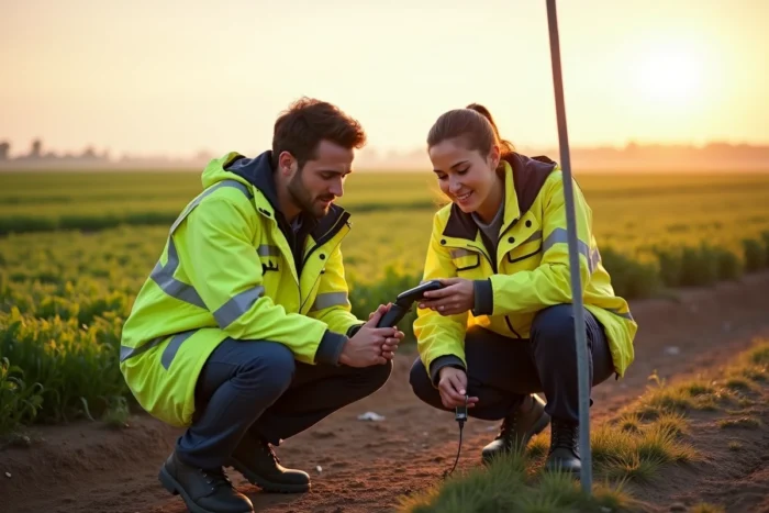
Recent French projects show that centimeter geolocation of agricultural machines is now considered an operational necessity. Automatic guidance of seeders, intra-field modulation of fertilizers, or precision mechanical weeding relies on GNSS corrections capable of positioning a tool within a few centimeters.
What location changes in the field
With precise positioning, a tractor can pass exactly over the same planting line for a subsequent intervention, without crushing adjacent rows. Reducing overlap decreases input consumption, and thus the cost per hectare.
Platforms like Deveryloc, originally designed for public safety, have not yet publicly documented their agricultural deployment. Field feedback varies on this point: some integrators adapt multi-network beacons to agricultural machinery, while others prefer dedicated GNSS systems, deemed more reliable in areas without cellular coverage.
GDPR and embedded geolocation: obligations that providers do not always display
Any location solution linked to an identifiable person (employee, driver, field agent) falls under the GDPR regime. In France, the framework is strict:
- The employer must justify a legitimate and proportionate purpose for activating tracking: safety of individuals, logistical optimization, compliance with a regulatory obligation.
- Employees must be individually informed about the system, its scope, and the duration of data retention.
- Since the GDPR came into effect, prior declaration to the CNIL is no longer required, but the employer must be able to prove compliance at any time, notably through a processing register.
- The duration of retention of location data must remain limited to what is strictly necessary. Permanent tracking without operational justification exposes the company to sanctions.
This regulatory aspect is rarely highlighted by solution providers. Deveryloc’s commercial pages mention an “architecture compliant with national regulations” and “total control over data,” but do not detail the obligations on the client side. However, it is the user company that bears the legal responsibility for processing.
A blind spot in rapid deployments
The promise of rapid deployment and integration with existing systems can conflict with the time required for serious compliance. Writing a data protection impact assessment (DPIA), consulting employee representatives, configuring access rights to location data: these steps take time, and shortening them exposes to litigation.
Data sovereignty in location: an underestimated selection criterion
When a community or law enforcement deploys a geolocation system, the question of data storage becomes sensitive. Where are the collected positions hosted? Who can access them? Under what jurisdiction?
Deveryloc, developed by ChapsVision (a French publisher), emphasizes a secure and sovereign architecture. In a context where European regulations (GDPR, and more recently the DORA framework for financial entities) strengthen requirements on data control, this argument weighs against solutions hosted outside the EU.
The available data does not allow for a conclusion on the exact level of certification of the infrastructures used by Deveryloc. The mention of “compliant with national regulations” remains vague as long as no public certification (SecNumCloud, HDS for health) is explicitly claimed. For public buyers, this distinction conditions the supplier’s eligibility for the most sensitive markets.
Multi-sector location: the limits of a universal promise
Covering public safety, industry, agriculture, and logistics with the same platform implies compromises. A device optimized for discreet tracking of a mobile target does not have the same constraints as a sensor fixed on a seeder or a beacon attached to a hospital trolley.
- In industrial environments, 3D location (including height) is often required to distinguish levels of a building. UWB (ultra-wideband) technologies excel here, but they require dedicated anchor infrastructure.
- In agricultural outdoor settings, robustness against vibrations, dust, and temperature variations takes precedence over discretion.
- In public safety, the beacon’s autonomy and its ability to emit without cellular network are decisive criteria.
A platform that aggregates these uses offers flexibility, but each sector ultimately demands specific hardware adaptations. The promise of universality clashes with the physics of sensors and the operational realities on the ground.